
First a quick history: Both Lake Barkley and Kentucky Lakes are man-made. That is, they built dams that flooded the area, including old roads and bridges and creeks. There will be a test later.
We left the anchorage after dawdling a bit -- made lattes, walked the dog, ate some breakfast -- and got underway heading up river. The weather is simply amazing, so we wanted to anchor out. But it seemed that marked anchorages, that is, place people have successfully anchored, dwindled as we head toward the top of the Lake Barkley (which is the bottom... rivers are complicated). But there are sooooo many little coves and bays that we were confident we'd find something.
 |
| The detail of the first attempt. |
In the video you see us do just that. We meander to the right, then down river, then back up, all following a tiny channel that follows an old creek bed. It leads us to a bay, where we think we'll drop the hook.
However, there is a somewhat visible not-quite-submerged bridge (I wished I'd taken a picture because it doesn't read well in the movie) that I wanted to steer clear of. Next thing we know (right around the :12 mark) a flume of mud comes out from under the boat. We had 3 feet beneath the keel.
 |
| The detail of the detail. Do you see the road? You can see bridge remnants at the bottom. |
We wound and twisted our way back, passing a handy dinghy dock, and drop the hook.
That accomplished we had a wonderful lunch, and napped, and tender ride with a pug. Heck, we even have a network.
 |
| You can see the marina and the islands that protect it. And our path through it. No, you cannot just go straight across. |

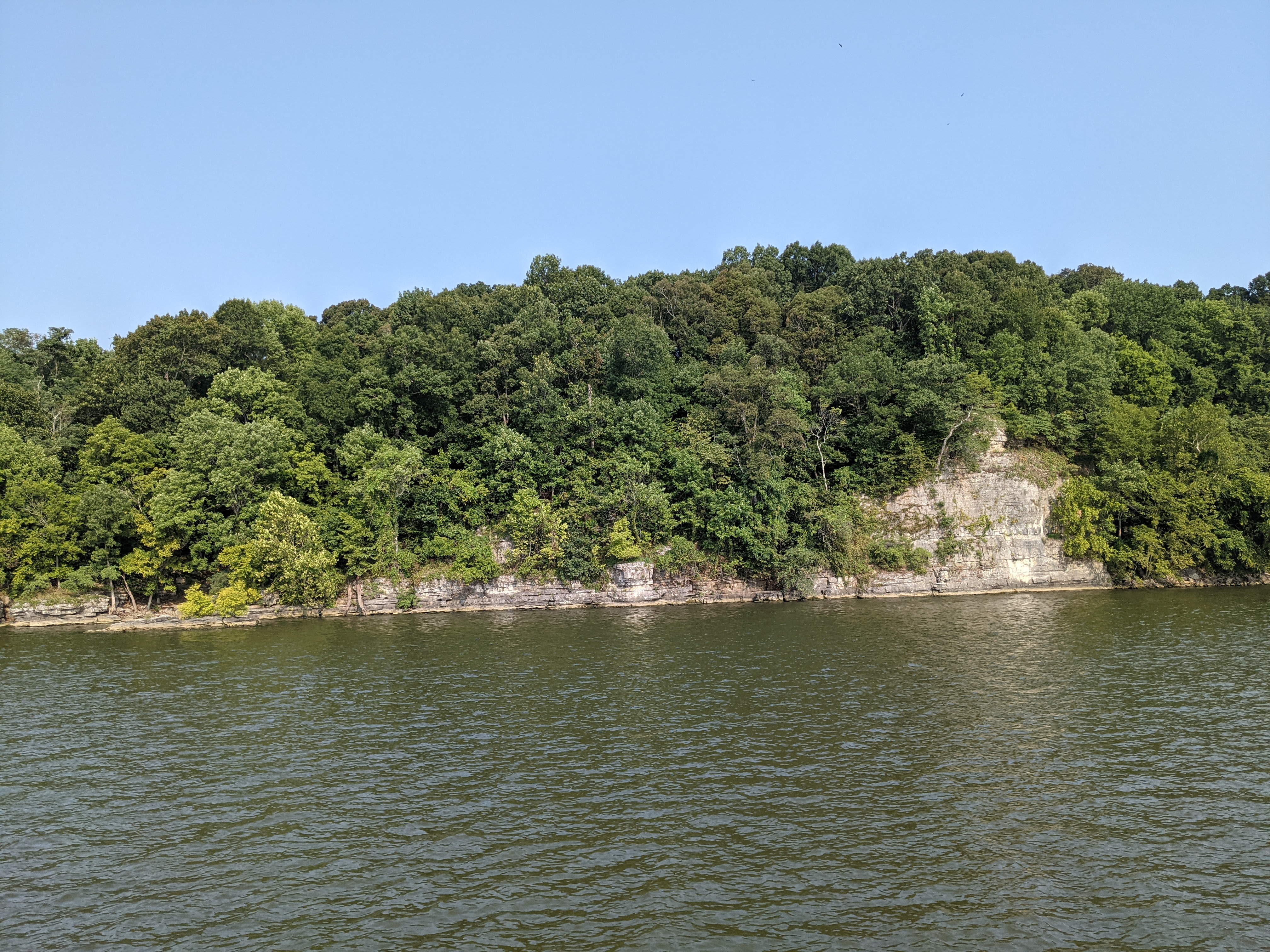 |
| The Ohio was pretty. But this is prettier. And rockier. Might explain the lack of anchorages. |
 |
| Where we walked a dog in Demumbers. inQuest is in the distance. |
No comments:
Post a Comment